
Unlimited Landmarks
Point your phone. Name the horizon.
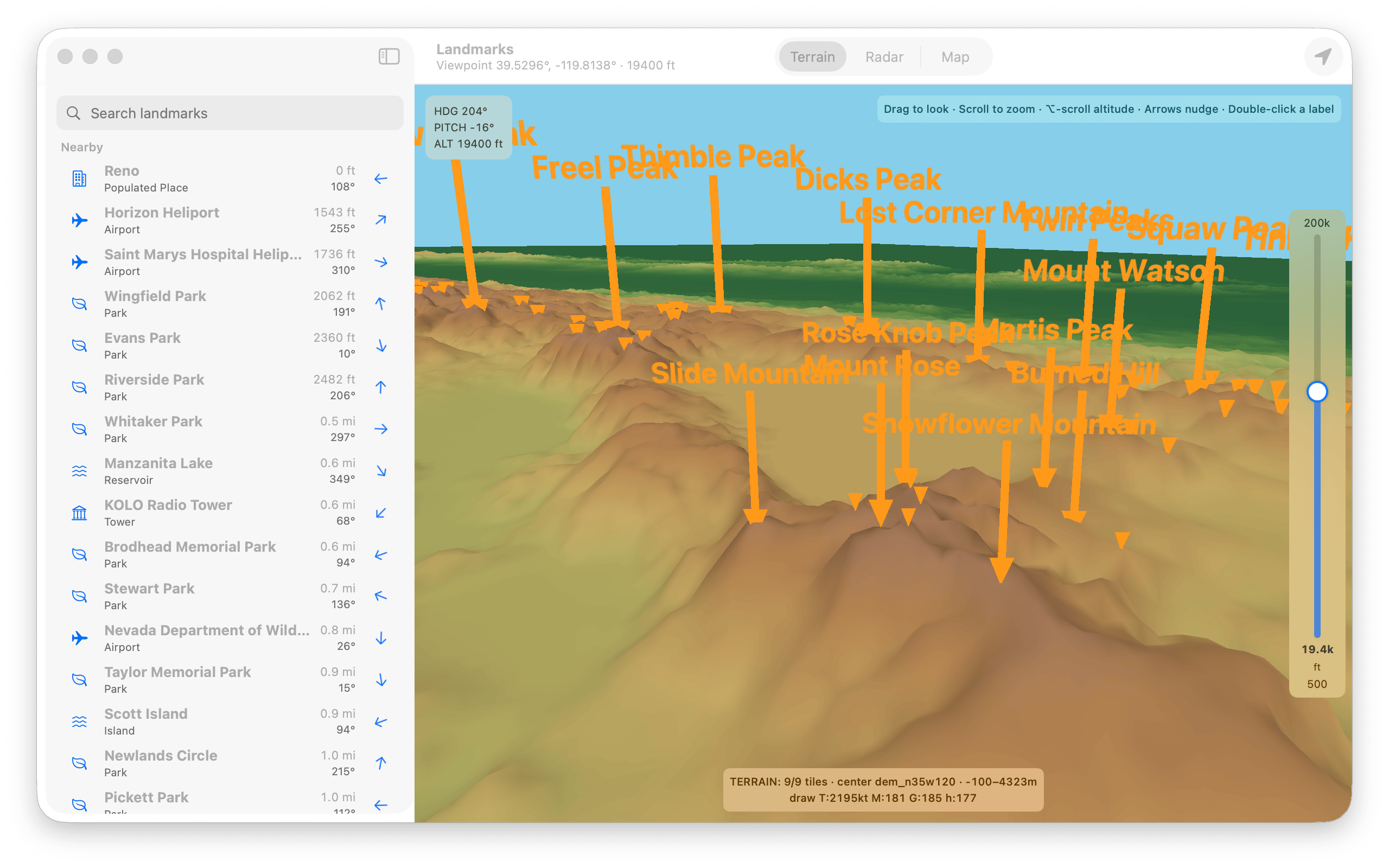
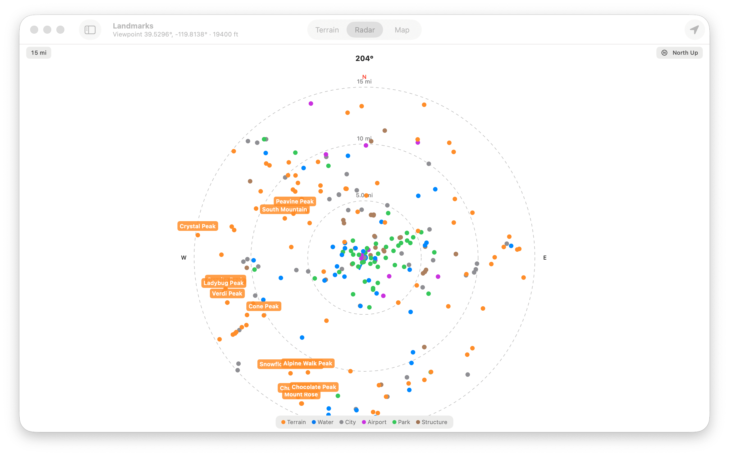
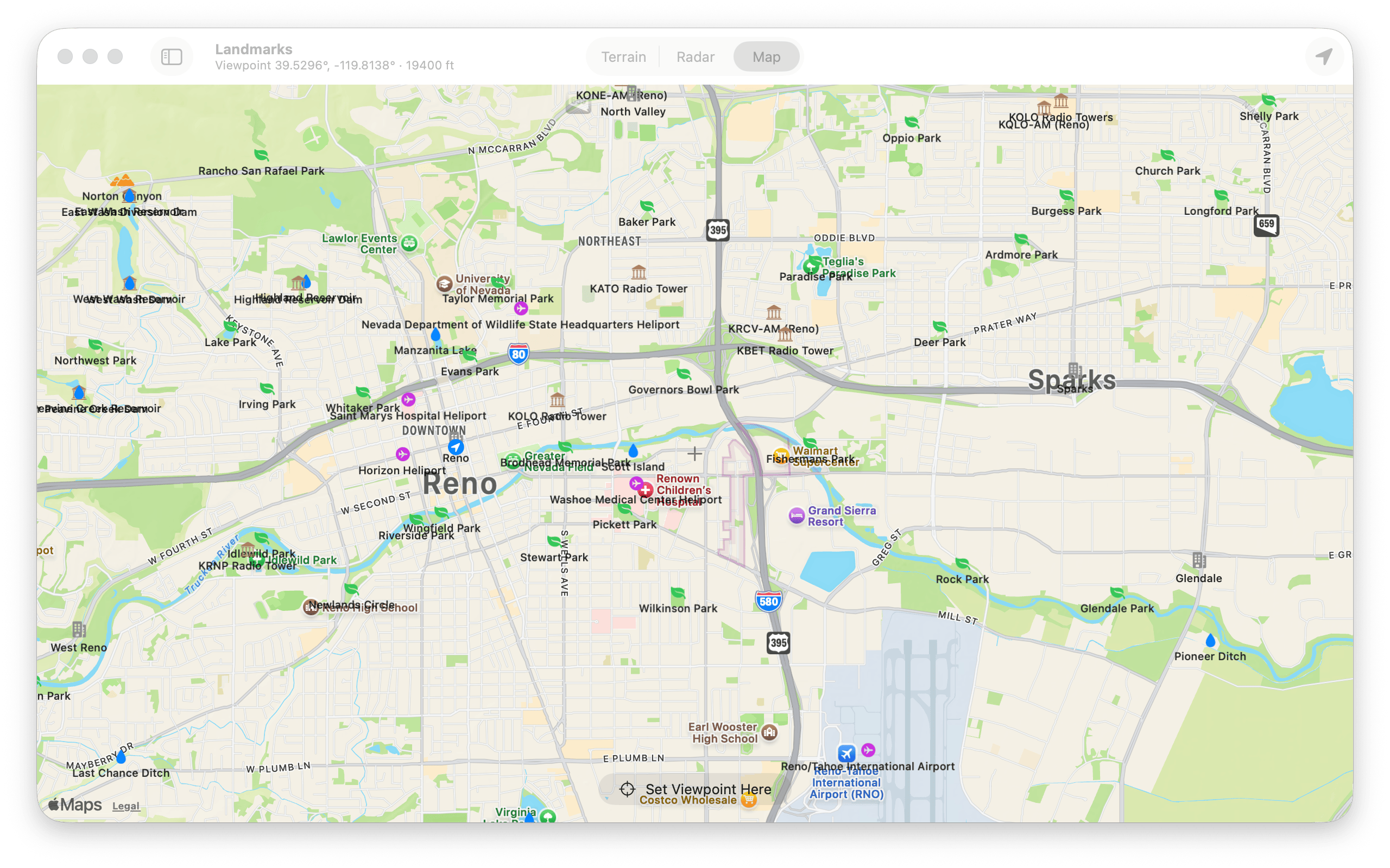
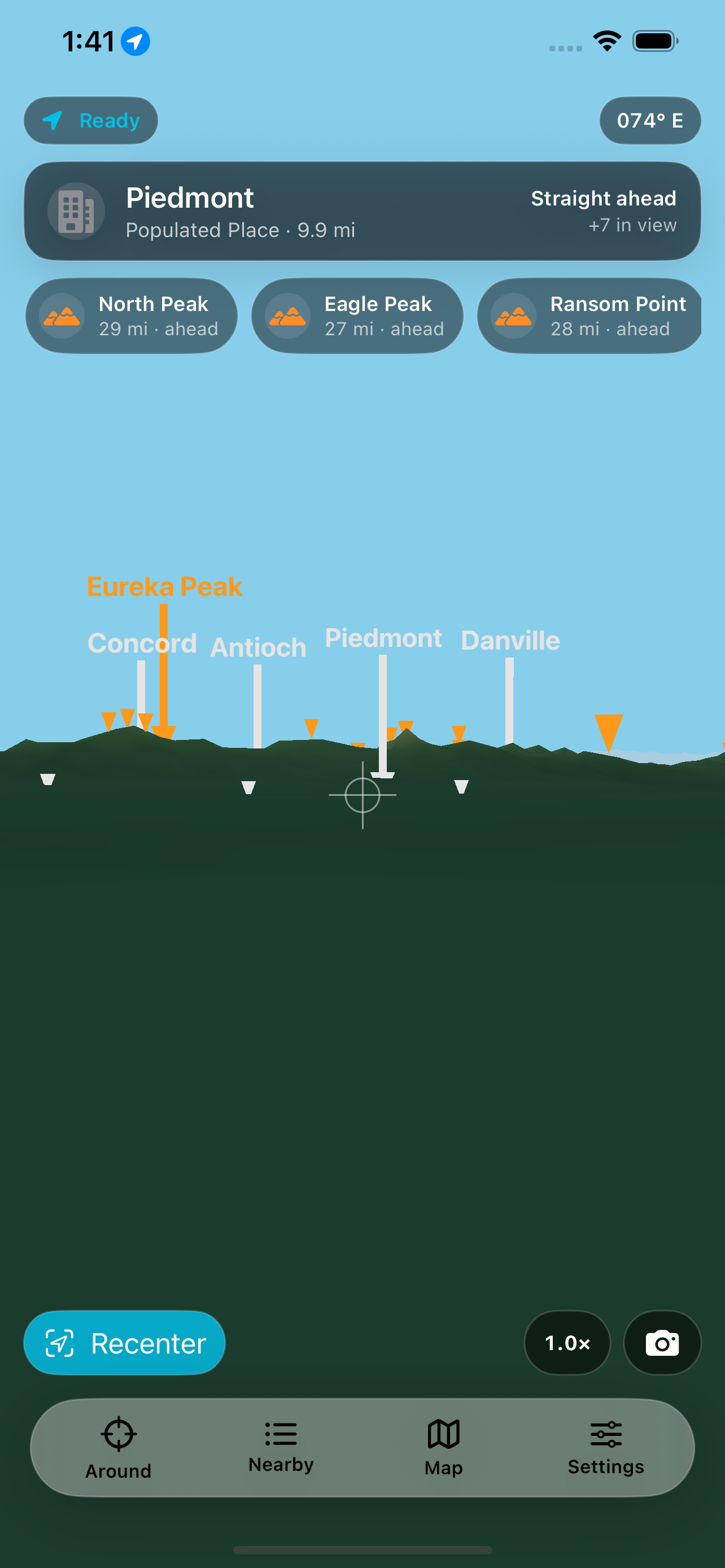
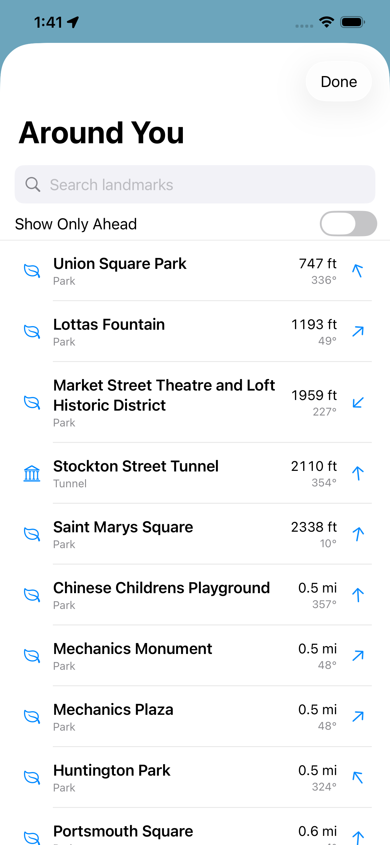
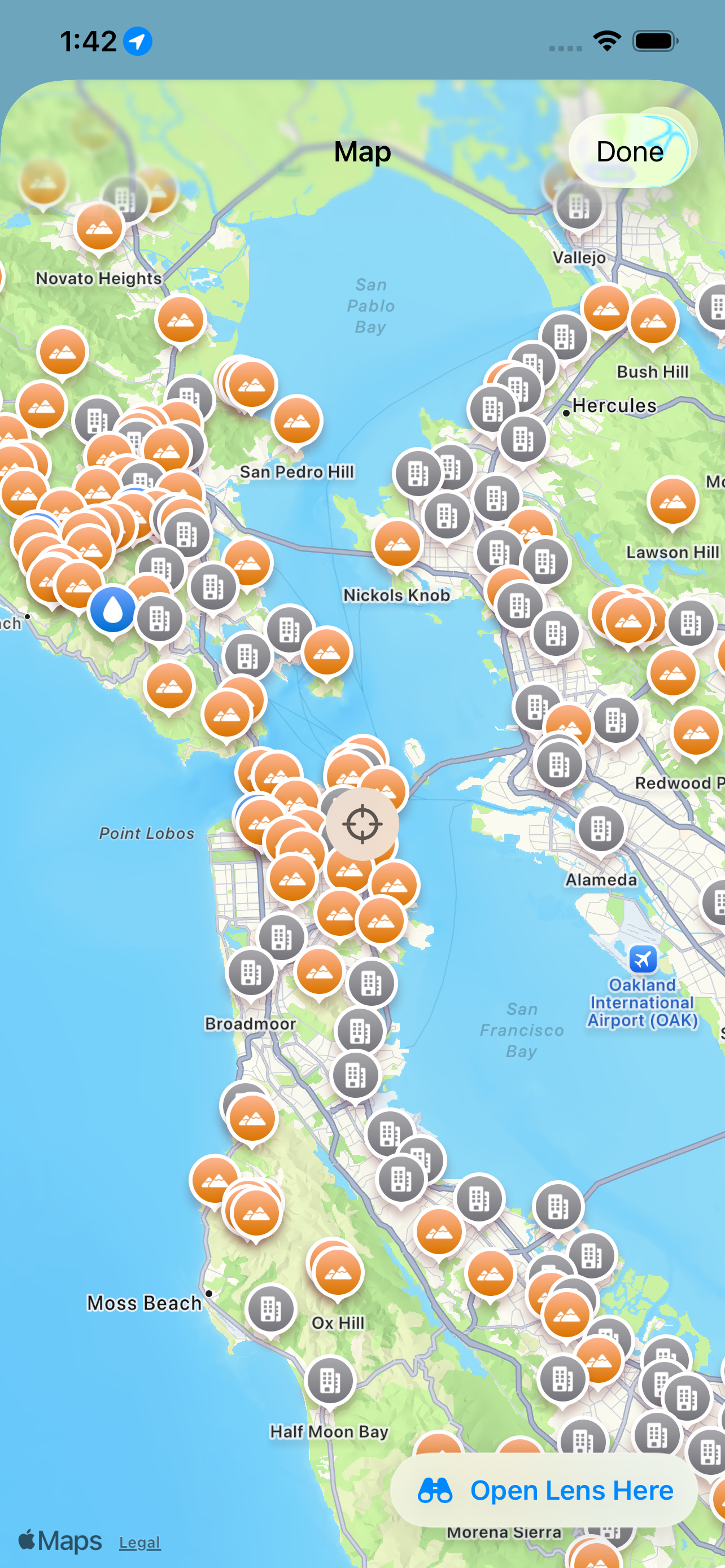
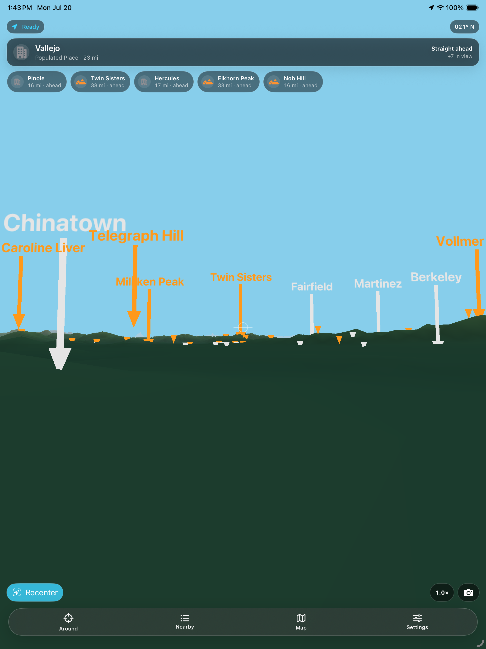

Point an iPhone or iPad at the horizon to name nearby peaks, lakes, cities, and airports. On Mac, explore the same landscape through offline 3D terrain, radar, and maps.
Name the horizon
- Hold up your phone and labels appear over peaks, lakes, cities, airports, parks, and structures.
- Turn in place and the labels follow the horizon using the device’s compass and motion sensors.
- Tap a label to see its distance, bearing, elevation, and the direction to turn.
Explore terrain, radar, and maps
- Explore shaded 3D terrain built from elevation data, move the viewpoint, and raise the altitude for a wider view.
- Use radar range rings to compare distance, filter landmarks by kind, and switch between north-up and heading-up views.
- Open the map to browse labeled landmarks, set a new viewpoint, or use the nearby list to compare distance and direction.
Highlights
- Official names — the included United States data uses USGS names for terrain, water, cities, airports, parks, and structures.
- Search near or far — find included landmarks offline, or use an optional Apple Maps search for street addresses and businesses when connected.
- Made for the window seat — set the viewpoint and altitude to identify terrain and towns below a flight path without a signal.
- Core features work offline — landmark labels, terrain, radar, and maps use data stored in the app.
One purchase, every device
One purchase covers Mac, iPhone, and iPad.
No account, no subscription, no in-app purchases, no ads, no analytics, and no tracking.